Accedi
Tutte le risorse
Creare un design
Tools
4.950 Immagini gratuite per Le Scale
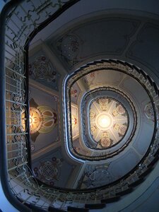
architettura
storico
edificio
vecchio
storia
urbano
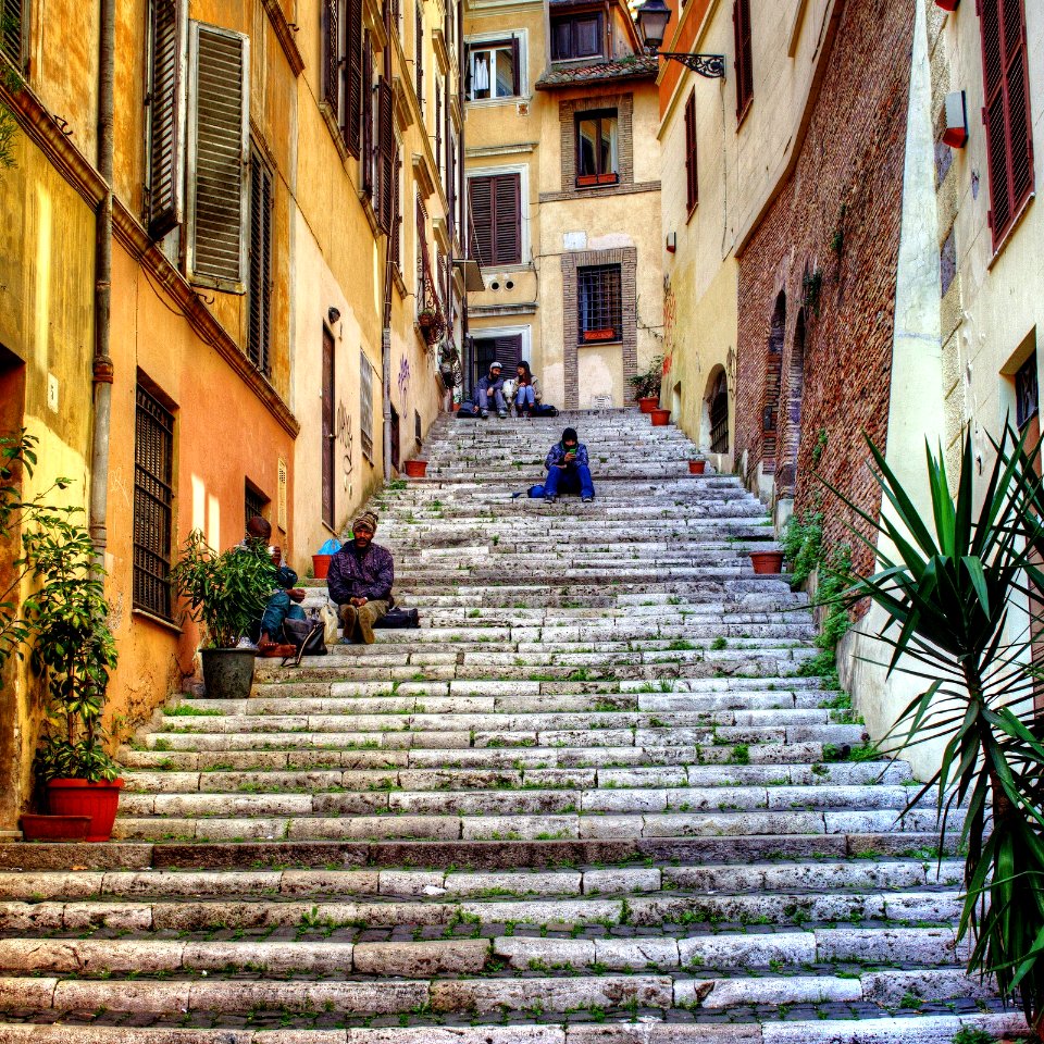
scala
italia
pietre
luce
edificio
casa
edificio
casa
monumenti
edificio
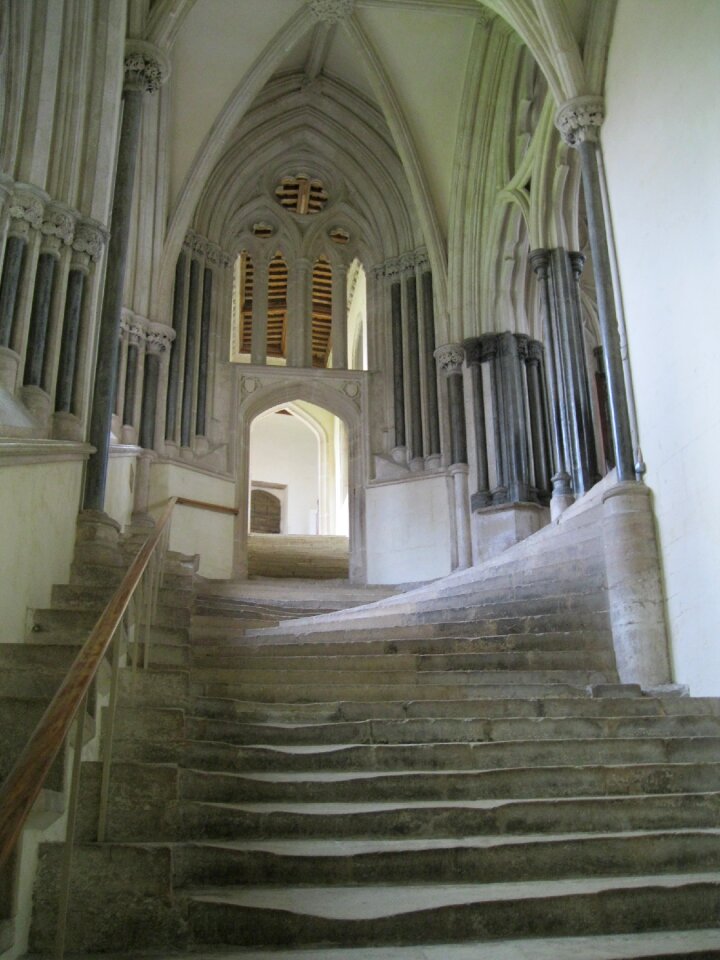
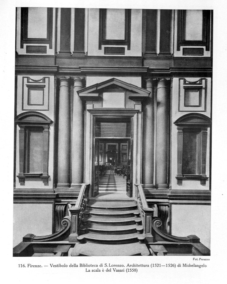
architettura
cappella
edificio
storia
edificio
storia
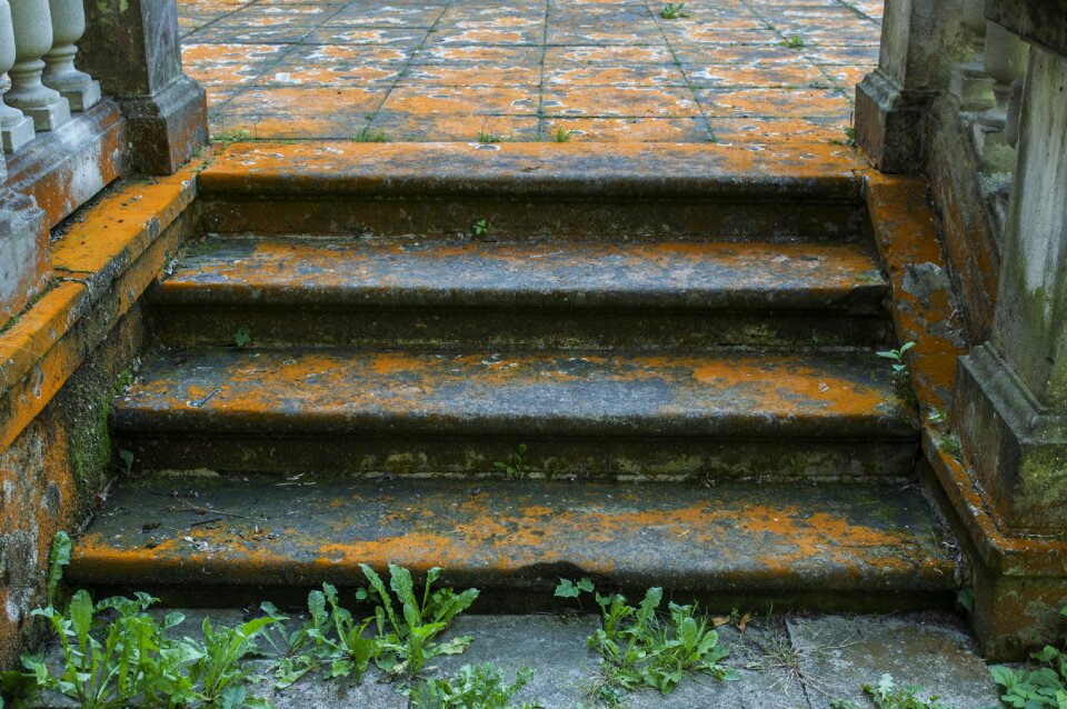
roccia
pietre
architettura
storia
natura
pietre
edificio
storia
edificio
storia
cappello
colonna
croce
scala
viaggio
città
paesaggio
verdure
architettura
edificio
acqua
verde
edificio
albero
edificio
viaggio
villaggio
albero
architettura
nero
isola
verde
pietre
città
architettura
muro
architettura
monocromo
architettura
metallo
edificio
londra
stati uniti d'america
architettura
paesaggio
verdure
imballaggio
luce
circonferenza
architettura
edificio
acqua
villaggio
finestra
lampada
neve
edificio
londra
italia
roma
architettura
giallo
edificio
neve
ombrello
giappone
facciata
acqua
maschere
parigi
paesaggio
viaggio
palcoscenico
sport
pietre
storia
ruota
mare
architettura
parco
architettura
castello
viaggio
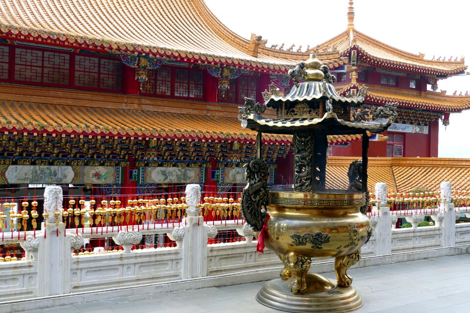
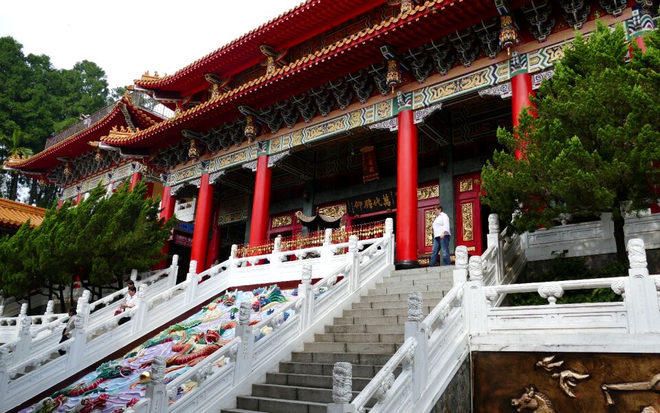
cina
architettura
edificio
edificio
storia
architettura
luce
architettura
edificio
viaggio
cina
edificio
castello
castello
fontana
pietre
india
paesaggio
pietre
edificio
pietre
cina
oro
architettura
cina
paesaggio
albero
edificio
storia
inverno
stampa
nero
luce
oceano
mare
architettura
ufficio
edificio
pietre
ragazze
artista
architettura
new york
edificio
piante
architettura
città
architettura
ponte
paesaggio
erba
metallo
verde
4301 - 4400 di 4.950
Pagina successiva
/ 50


![The Course of the Somme in the vicinity of which course are situated, the Ponthieu, the Amienois, the Santerre and the Vermandois / By N. de Fer... Scale of Three Hours of Travel [=1: 139 200 ]; H. Van Loon sculp, Herman van Loon, 1709](https://cdn.creazilla.com/illustrations/10000794475/the-course-of-the-somme-in-the-vicinity-of-which-course-are-situated-the-ponthieu-the-amienois-the-santerre-and-the-vermandois-by-n-de-fer-scale-of-three-hours-of-travel-1-139-200-h-van-loon-sculp-herman-van-loon-1709-md.jpg)


![Takahashi Shōtei – Takahama-inari Temple of Good Harvests [from Shotei (Hiroaki) Takahashi: His Life and Works]](https://cdn.creazilla.com/illustrations/7773616/takahashi-shotei-takahama-inari-temple-of-good-harvests-from-shotei-hiroaki-taka-sm.jpeg)